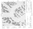
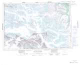
Maps showing Ulu Mountain, Yukon
Ulu Mountain is a Mountain located in Yukon and has an elevation of 2640 meters.
- Latitude: 60° 13' 37'' North (decimal: 60.2269444)
- Longitude: 138° 46' 17'' West (decimal: -138.7713889)
- Topography Feature Category: Mountain
- Geographical Feature: Mountain
- Canadian Province/Territory: Yukon
- Elevation: 2640 meters
- Atlas of Canada Locator Map: Ulu Mountain
- GPS Coordinate Locator Map: Ulu Mountain Lat/Long
Ulu Mountain NTS Map Sheets