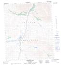
Maps showing Mount Vines, Yukon
Mount Vines is a Mountain located in Yukon.
- Latitude: 64° 49' 37'' North (decimal: 64.8269444)
- Longitude: 138° 15' 42'' West (decimal: -138.2616667)
- Topography Feature Category: Mountain
- Geographical Feature: Mount
- Canadian Province/Territory: Yukon
- Atlas of Canada Locator Map: Mount Vines
- GPS Coordinate Locator Map: Mount Vines Lat/Long