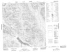
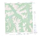
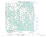
Maps showing Weasel Creek, Yukon
Weasel Creek is a River located in Yukon and has an elevation of 1243 meters.
- Latitude: 61° 26' 20'' North (decimal: 61.4388888)
- Longitude: 133° 4' 37'' West (decimal: -133.0769443)
- Topography Feature Category: River
- Geographical Feature: Creek
- Canadian Province/Territory: Yukon
- Elevation: 1243 meters
- Atlas of Canada Locator Map: Weasel Creek
- GPS Coordinate Locator Map: Weasel Creek Lat/Long
Weasel Creek NTS Map Sheets