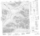
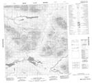
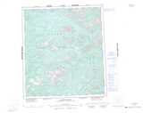
Maps showing Wilson Range, Yukon
Wilson Range is a Mountain located in Yukon and has an elevation of 1405 meters.
- Latitude: 63° 38' 19'' North (decimal: 63.6386111)
- Longitude: 132° 33' 34'' West (decimal: -132.5594444)
- Topography Feature Category: Mountain
- Geographical Feature: Range
- Canadian Province/Territory: Yukon
- Elevation: 1405 meters
- Atlas of Canada Locator Map: Wilson Range
- GPS Coordinate Locator Map: Wilson Range Lat/Long
Wilson Range NTS Map Sheets