Maps showing Wind River, Yukon
Wind River is a River located in Yukon and has an elevation of 404 meters.
- Latitude: 65° 50' 29'' North (decimal: 65.8413888)
- Longitude: 135° 18' 26'' West (decimal: -135.3072222)
- Topography Feature Category: River
- Geographical Feature: River
- Canadian Province/Territory: Yukon
- Elevation: 404 meters
- Atlas of Canada Locator Map: Wind River
- GPS Coordinate Locator Map: Wind River Lat/Long
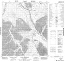
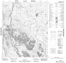
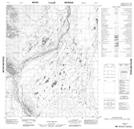
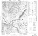
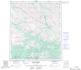
Wind River NTS Map Sheets
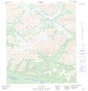
106D08 No Title Topographic Map at 1:50,000 scale
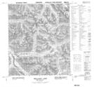
106D09 Mcclusky Lake Topographic Map at 1:50,000 scale
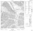
106D10 Bond Creek Topographic Map at 1:50,000 scale
106D15 Bear River Topographic Map at 1:50,000 scale
106E02 Kiwi Lake Topographic Map at 1:50,000 scale
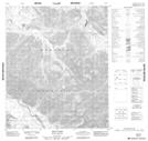
106E03 Royal Mountain Topographic Map at 1:50,000 scale
106E06 No Title Topographic Map at 1:50,000 scale
106E11 No Title Topographic Map at 1:50,000 scale
106E14 No Title Topographic Map at 1:50,000 scale
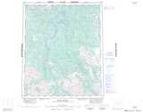
106D Nash Creek Topographic Map at 1:250,000 scale
106E Wind River Topographic Map at 1:250,000 scale