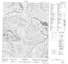
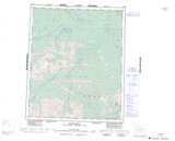
Maps showing Semple Hill, Yukon
Semple Hill is a Mountain located in Yukon.
- Latitude: 65° 43' 18'' North (decimal: 65.7216666)
- Longitude: 136° 5' 55'' West (decimal: -136.0986111)
- Topography Feature Category: Mountain
- Geographical Feature: Hill
- Canadian Province/Territory: Yukon
- Atlas of Canada Locator Map: Semple Hill
- GPS Coordinate Locator Map: Semple Hill Lat/Long
Semple Hill NTS Map Sheets