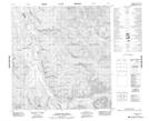
Maps showing Engles Creek, Yukon
Engles Creek is a River located in Yukon.
- Latitude: 61° 16' 1'' North (decimal: 61.2669444)
- Longitude: 134° 14' 44'' West (decimal: -134.2455556)
- Topography Feature Category: River
- Geographical Feature: Creek
- Canadian Province/Territory: Yukon
- Atlas of Canada Locator Map: Engles Creek
- GPS Coordinate Locator Map: Engles Creek Lat/Long
Engles Creek NTS Map Sheets