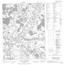
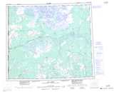
Maps showing Chalv{21} Vàn, Yukon
Chalv{21} Vàn is a Lake located in Yukon.
- Latitude: 67° 52' 58'' North (decimal: 67.8827777)
- Longitude: 139° 48' 59'' West (decimal: -139.8163889)
- Topography Feature Category: Lake
- Geographical Feature: Lake
- Canadian Province/Territory: Yukon
- Atlas of Canada Locator Map: Chalv{21} Vàn
- GPS Coordinate Locator Map: Chalv{21} Vàn Lat/Long
Chalv{21} Vàn NTS Map Sheets