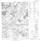
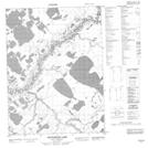
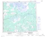
Maps showing Nèhtrùh Vavàn, Yukon
Nèhtrùh Vavàn is a Lake located in Yukon.
- Latitude: 67° 53' 58'' North (decimal: 67.8994444)
- Longitude: 139° 29' 19'' West (decimal: -139.4886111)
- Topography Feature Category: Lake
- Geographical Feature: Lake
- Canadian Province/Territory: Yukon
- Atlas of Canada Locator Map: Nèhtrùh Vavàn
- GPS Coordinate Locator Map: Nèhtrùh Vavàn Lat/Long
Nèhtrùh Vavàn NTS Map Sheets