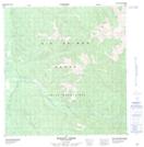
Maps showing G{13} Destr{13}, Yukon
G{13} Destr{13} is a Mountain located in Yukon.
- Latitude: 61° 32' 49'' North (decimal: 61.5469444)
- Longitude: 134° 22' 12'' West (decimal: -134.37)
- Topography Feature Category: Mountain
- Geographical Feature: Mountain
- Canadian Province/Territory: Yukon
- Atlas of Canada Locator Map: G{13} Destr{13}
- GPS Coordinate Locator Map: G{13} Destr{13} Lat/Long
G{13} Destr{13} NTS Map Sheets