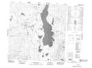
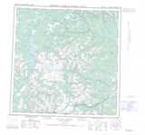
Maps showing Nûsgu Xhâdi, Yukon
Nûsgu Xhâdi is a Lake located in Yukon.
- Latitude: 60° 33' 5'' North (decimal: 60.5513888)
- Longitude: 131° 43' 36'' West (decimal: -131.7266666)
- Topography Feature Category: Lake
- Geographical Feature: Lake
- Canadian Province/Territory: Yukon
- Atlas of Canada Locator Map: Nûsgu Xhâdi
- GPS Coordinate Locator Map: Nûsgu Xhâdi Lat/Long
Nûsgu Xhâdi NTS Map Sheets