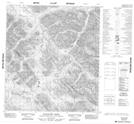
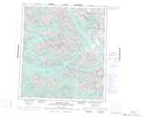
Maps showing Hailstone Creek, Mackenzie, Northwest Territories
Hailstone Creek is a River located in Mackenzie, Northwest Territories and has an elevation of 1350 meters.
- Latitude: 63° 58' 21'' North (decimal: 63.9725379)
- Longitude: 103° 20' 27'' West (decimal: -103.3409517)
- Topography Feature Category: River
- Geographical Feature: Creek
- Canadian Province/Territory: Northwest Territories
- Elevation: 1350 meters
- Location: Mackenzie
- Atlas of Canada Locator Map: Hailstone Creek
- GPS Coordinate Locator Map: Hailstone Creek Lat/Long
Hailstone Creek NTS Map Sheets