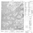
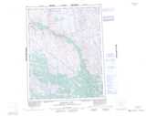
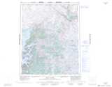
Maps showing Achook Island, Mackenzie, Northwest Territories
Achook Island is a Island located in Mackenzie, Northwest Territories.
- Latitude: 66° 22' 1'' North (decimal: 66.3669474)
- Longitude: 117° 52' 6'' West (decimal: -117.8683136)
- Topography Feature Category: Island
- Geographical Feature: Island
- Canadian Province/Territory: Northwest Territories
- Location: Mackenzie
- Atlas of Canada Locator Map: Achook Island
- GPS Coordinate Locator Map: Achook Island Lat/Long
Achook Island NTS Map Sheets