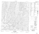
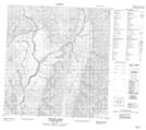
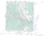
Maps showing Arnica Range, Mackenzie, Northwest Territories
Arnica Range is a Mountain located in Mackenzie, Northwest Territories.
- Latitude: 61° 42' 00'' North (decimal: 61.6999756)
- Longitude: 125° 17' 6'' West (decimal: -125.2850146)
- Topography Feature Category: Mountain
- Geographical Feature: Range
- Canadian Province/Territory: Northwest Territories
- Location: Mackenzie
- Atlas of Canada Locator Map: Arnica Range
- GPS Coordinate Locator Map: Arnica Range Lat/Long
Arnica Range NTS Map Sheets