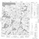
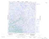
Maps showing Aurora Lake, Franklin, Northwest Territories
Aurora Lake is a Lake located in Franklin, Northwest Territories and has an elevation of 385 meters.
- Latitude: 64° 24' 1'' North (decimal: 64.4002682)
- Longitude: 112° 56' 5'' West (decimal: -112.9345922)
- Topography Feature Category: Lake
- Geographical Feature: Lake
- Canadian Province/Territory: Northwest Territories
- Elevation: 385 meters
- Location: Franklin
- Atlas of Canada Locator Map: Aurora Lake
- GPS Coordinate Locator Map: Aurora Lake Lat/Long
Aurora Lake NTS Map Sheets