Canada Topographic Maps

Back River Topo Maps

Topography maps and Latitude/Longitude Location

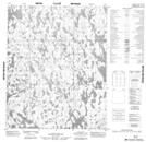
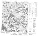
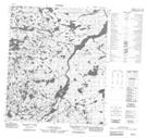
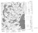
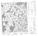
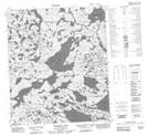
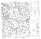
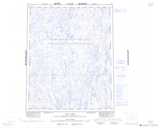
Maps showing Back River, Keewatin; Mackenzie, Northwest Territories

Back River is a River located in Keewatin; Mackenzie, Northwest Territories and has an elevation of 321 meters.

  • Latitude: 64° 46' 1'' North   (decimal: 64.7669751)
  • Longitude: 107° 48' 3'' West   (decimal: -107.8009721)
  • Topography Feature Category: River
  • Geographical Feature: River
  • Canadian Province/Territory: Northwest Territories
  • Elevation: 321 meters
  • Location: Keewatin; Mackenzie
  • Atlas of Canada Locator Map: Back River
  • GPS Coordinate Locator Map: Back River Lat/Long

Back River NTS Map Sheets

066J04 No Title Topographic Map at 1:50,000 scale

076B12 No Title Topographic Map at 1:50,000 scale

076B13 No Title Topographic Map at 1:50,000 scale

076C07 Savannah Lake Topographic Map at 1:50,000 scale

076C08 Sussex Lake Topographic Map at 1:50,000 scale

076C09 Muskox Lake Topographic Map at 1:50,000 scale

076C10 No Title Topographic Map at 1:50,000 scale

066J Joe Lake Topographic Map at 1:250,000 scale

076B Healey Lake Topographic Map at 1:250,000 scale

076C Aylmer Lake Topographic Map at 1:250,000 scale

 
Buy Topographic Maps DVD
Newsletter Sign-up

Yes, I want to receive map store discounts.


Bookmark and Share