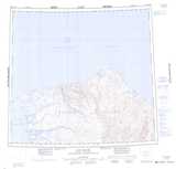
Maps showing Ballast Brook, Franklin, Northwest Territories
Ballast Brook is a River located in Franklin, Northwest Territories.
- Latitude: 74° 27' 2'' North (decimal: 74.4505216)
- Longitude: 123° 13' 12'' West (decimal: -123.2200645)
- Topography Feature Category: River
- Geographical Feature: Brook
- Canadian Province/Territory: Northwest Territories
- Location: Franklin
- Atlas of Canada Locator Map: Ballast Brook
- GPS Coordinate Locator Map: Ballast Brook Lat/Long
Ballast Brook NTS Map Sheets