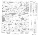
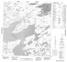
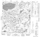
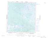
Maps showing Bartlett Lake, Franklin, Northwest Territories
Bartlett Lake is a Lake located in Franklin, Northwest Territories and has an elevation of 274 meters.
- Latitude: 63° 5' 1'' North (decimal: 63.0835164)
- Longitude: 118° 20' 5'' West (decimal: -118.3348140)
- Topography Feature Category: Lake
- Geographical Feature: Lake
- Canadian Province/Territory: Northwest Territories
- Elevation: 274 meters
- Location: Franklin
- Atlas of Canada Locator Map: Bartlett Lake
- GPS Coordinate Locator Map: Bartlett Lake Lat/Long
Bartlett Lake NTS Map Sheets