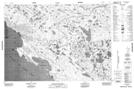
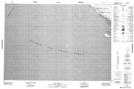
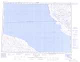
Maps showing Bell Island, Franklin, Northwest Territories
Bell Island is a Island located in Franklin, Northwest Territories.
- Latitude: 69° 39' 2'' North (decimal: 69.6504205)
- Longitude: 117° 2' 7'' West (decimal: -117.0353549)
- Topography Feature Category: Island
- Geographical Feature: Island
- Canadian Province/Territory: Northwest Territories
- Location: Franklin
- Atlas of Canada Locator Map: Bell Island
- GPS Coordinate Locator Map: Bell Island Lat/Long
Bell Island NTS Map Sheets