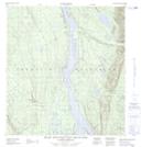
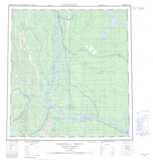
Maps showing Mount Bell, Mackenzie, Northwest Territories
Mount Bell is a Mountain located in Mackenzie, Northwest Territories and has an elevation of 441 meters.
- Latitude: 62° 56' 20'' North (decimal: 62.9389792)
- Longitude: 123° 0' 36'' West (decimal: -123.0099264)
- Topography Feature Category: Mountain
- Geographical Feature: Mount
- Canadian Province/Territory: Northwest Territories
- Elevation: 441 meters
- Location: Mackenzie
- Atlas of Canada Locator Map: Mount Bell
- GPS Coordinate Locator Map: Mount Bell Lat/Long
Mount Bell NTS Map Sheets