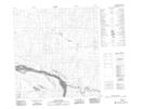
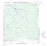
Maps showing Berens Landing, Mackenzie, Northwest Territories
Berens Landing is a Unincorporated area located in Mackenzie, Northwest Territories and has an elevation of 122 meters.
- Latitude: 61° 49' 40'' North (decimal: 61.8278792)
- Longitude: 120° 55' 40'' West (decimal: -120.9278697)
- Topography Feature Category: Unincorporated area
- Geographical Feature: Locality
- Canadian Province/Territory: Northwest Territories
- Elevation: 122 meters
- Location: Mackenzie
- Atlas of Canada Locator Map: Berens Landing
- GPS Coordinate Locator Map: Berens Landing Lat/Long
Berens Landing NTS Map Sheets