Maps showing Blue Hills, Franklin, Northwest Territories
Blue Hills is a Mountain located in Franklin, Northwest Territories.
- Latitude: 75° 34' 2'' North (decimal: 75.5673383)
- Longitude: 114° 30' 10'' West (decimal: -114.5026746)
- Topography Feature Category: Mountain
- Geographical Feature: Hills
- Canadian Province/Territory: Northwest Territories
- Location: Franklin
- Atlas of Canada Locator Map: Blue Hills
- GPS Coordinate Locator Map: Blue Hills Lat/Long
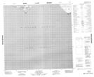
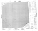
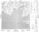
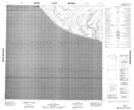
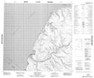
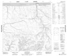
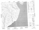
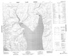
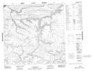
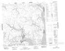
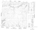
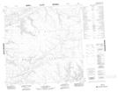
Blue Hills NTS Map Sheets
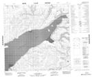
088E13 Cape Smyth Topographic Map at 1:50,000 scale
088E14 Peddie Point Topographic Map at 1:50,000 scale
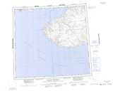
088G01 Warrington Bay Topographic Map at 1:50,000 scale
088G02 No Title Topographic Map at 1:50,000 scale
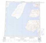
088G07 Kelly Point Topographic Map at 1:50,000 scale
088G08 Giddy River Topographic Map at 1:50,000 scale
088H03 Mount Joy Topographic Map at 1:50,000 scale
088H04 Hardy Bay Topographic Map at 1:50,000 scale
088H05 No Title Topographic Map at 1:50,000 scale
088H06 No Title Topographic Map at 1:50,000 scale
088H10 No Title Topographic Map at 1:50,000 scale
088H11 No Title Topographic Map at 1:50,000 scale
088H12 No Title Topographic Map at 1:50,000 scale
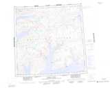
088E Dundas Peninsula Topographic Map at 1:250,000 scale
088G Eglinton Island Topographic Map at 1:250,000 scale
088H Murray Inlet Topographic Map at 1:250,000 scale