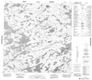
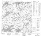
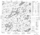
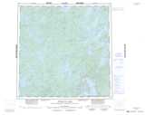
Canada Topographic Maps

Lac Brűlé Topo Maps

Topography maps and Latitude/Longitude Location

Maps showing Lac Brűlé, Mackenzie, Northwest Territories

Lac Brűlé is a Lake located in Mackenzie, Northwest Territories.

  • Latitude: 60° 45' 1'' North   (decimal: 60.7502057)
  • Longitude: 106° 2' 3'' West   (decimal: -106.0340555)
  • Topography Feature Category: Lake
  • Geographical Feature: Lake
  • Canadian Province/Territory: Northwest Territories
  • Location: Mackenzie
  • Atlas of Canada Locator Map: Lac Brűlé
  • GPS Coordinate Locator Map: Lac Brűlé Lat/Long

Lac Brűlé NTS Map Sheets

075A13 No Title Topographic Map at 1:50,000 scale

075B09 Odin Lake Topographic Map at 1:50,000 scale

075B16 Hostile Lake Topographic Map at 1:50,000 scale

075A Wholdaia Lake Topographic Map at 1:250,000 scale

075B Abitau Lake Topographic Map at 1:250,000 scale

 
Buy Topographic Maps DVD
Newsletter Sign-up

Yes, I want to receive map store discounts.


Bookmark and Share