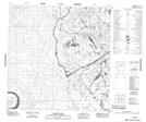
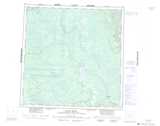
Maps showing Brûlé Point, Mackenzie, Northwest Territories
Brûlé Point is a Cape located in Mackenzie, Northwest Territories.
- Latitude: 60° 31' 11'' North (decimal: 60.5195983)
- Longitude: 112° 27' 19'' West (decimal: -112.4552670)
- Topography Feature Category: Cape
- Geographical Feature: Point
- Canadian Province/Territory: Northwest Territories
- Location: Mackenzie
- Atlas of Canada Locator Map: Brûlé Point
- GPS Coordinate Locator Map: Brûlé Point Lat/Long
Brûlé Point NTS Map Sheets