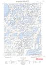
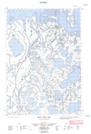
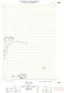
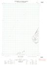
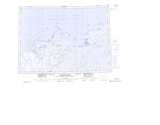
Maps showing Cabin Creek, Mackenzie, Northwest Territories
Cabin Creek is a River located in Mackenzie, Northwest Territories.
- Latitude: 69° 16' 50'' North (decimal: 69.2805528)
- Longitude: 134° 8' 15'' West (decimal: -134.1375581)
- Topography Feature Category: River
- Geographical Feature: Creek
- Canadian Province/Territory: Northwest Territories
- Location: Mackenzie
- Atlas of Canada Locator Map: Cabin Creek
- GPS Coordinate Locator Map: Cabin Creek Lat/Long
Cabin Creek NTS Map Sheets