Maps showing Carnwath River, Mackenzie, Northwest Territories
Carnwath River is a River located in Mackenzie, Northwest Territories and has an elevation of 103 meters.
- Latitude: 68° 26' 0'' North (decimal: 68.4334310)
- Longitude: 128° 52' 9'' West (decimal: -128.8690692)
- Topography Feature Category: River
- Geographical Feature: River
- Canadian Province/Territory: Northwest Territories
- Elevation: 103 meters
- Location: Mackenzie
- Atlas of Canada Locator Map: Carnwath River
- GPS Coordinate Locator Map: Carnwath River Lat/Long
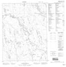
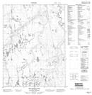
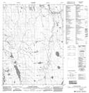
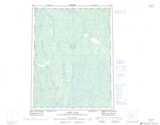
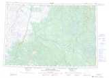
Carnwath River NTS Map Sheets
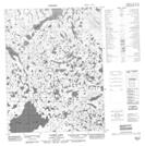
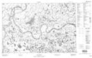
096M03 Tadek Lake Topographic Map at 1:50,000 scale
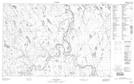
096M04 No Title Topographic Map at 1:50,000 scale
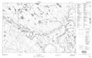
096M05 No Title Topographic Map at 1:50,000 scale
096M12 No Title Topographic Map at 1:50,000 scale
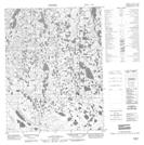
106P09 No Title Topographic Map at 1:50,000 scale
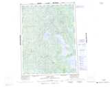
106P10 Big Grass Lake Topographic Map at 1:50,000 scale
106P14 Yatage River Topographic Map at 1:50,000 scale
106P15 No Title Topographic Map at 1:50,000 scale
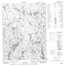
107A02 No Title Topographic Map at 1:50,000 scale
107A07 No Title Topographic Map at 1:50,000 scale
107A08 No Title Topographic Map at 1:50,000 scale
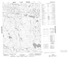
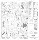
096M Aubry Lake Topographic Map at 1:250,000 scale
106P Canot Lake Topographic Map at 1:250,000 scale
107A Crossley Lakes Topographic Map at 1:250,000 scale