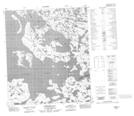
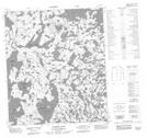
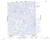
Maps showing Carpenter Bay, Mackenzie, Northwest Territories
Carpenter Bay is a Bay located in Mackenzie, Northwest Territories and has an elevation of 375 meters.
- Latitude: 64° 14' 1'' North (decimal: 64.2336161)
- Longitude: 108° 19' 4'' West (decimal: -108.3176507)
- Topography Feature Category: Bay
- Geographical Feature: Bay
- Canadian Province/Territory: Northwest Territories
- Elevation: 375 meters
- Location: Mackenzie
- Atlas of Canada Locator Map: Carpenter Bay
- GPS Coordinate Locator Map: Carpenter Bay Lat/Long
Carpenter Bay NTS Map Sheets