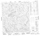
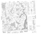
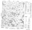
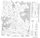
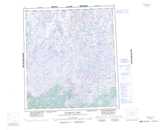
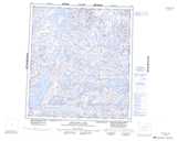
Maps showing Lac de Charloit, Mackenzie, Northwest Territories
Lac de Charloit is a Lake located in Mackenzie, Northwest Territories and has an elevation of 394 meters.
- Latitude: 63° 50' 1'' North (decimal: 63.8336080)
- Longitude: 107° 57' 3'' West (decimal: -107.9509471)
- Topography Feature Category: Lake
- Geographical Feature: Lake
- Canadian Province/Territory: Northwest Territories
- Elevation: 394 meters
- Location: Mackenzie
- Atlas of Canada Locator Map: Lac de Charloit
- GPS Coordinate Locator Map: Lac de Charloit Lat/Long
Lac de Charloit NTS Map Sheets