Canada Topographic Maps

Clinton-Colden Lake Topo Maps

Topography maps and Latitude/Longitude Location

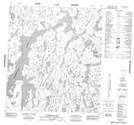
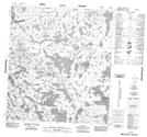
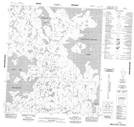
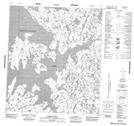
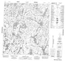
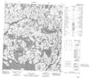
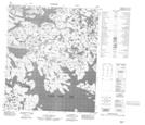
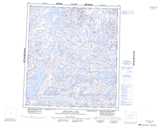
Maps showing Clinton-Colden Lake, Mackenzie, Northwest Territories

Clinton-Colden Lake is a Lake located in Mackenzie, Northwest Territories and has an elevation of 375 meters.

  • Latitude: 63° 55' 1'' North   (decimal: 63.9169441)
  • Longitude: 107° 29' 3'' West   (decimal: -107.4842537)
  • Topography Feature Category: Lake
  • Geographical Feature: Lake
  • Canadian Province/Territory: Northwest Territories
  • Elevation: 375 meters
  • Location: Mackenzie
  • Atlas of Canada Locator Map: Clinton-Colden Lake
  • GPS Coordinate Locator Map: Clinton-Colden Lake Lat/Long

Clinton-Colden Lake NTS Map Sheets

075O11 Ptarmigan Lake Topographic Map at 1:50,000 scale

075O12 No Title Topographic Map at 1:50,000 scale

075O13 No Title Topographic Map at 1:50,000 scale

075O14 Tyrrell Point Topographic Map at 1:50,000 scale

075O15 Musclow Lake Topographic Map at 1:50,000 scale

076B03 No Title Topographic Map at 1:50,000 scale

076B04 No Title Topographic Map at 1:50,000 scale

075O Artillery Lake Topographic Map at 1:250,000 scale

076B Healey Lake Topographic Map at 1:250,000 scale

 
Buy Topographic Maps DVD
Newsletter Sign-up

Yes, I want to receive map store discounts.


Bookmark and Share