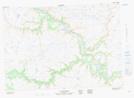
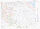
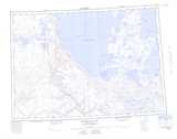
Maps showing Coal Creek, Mackenzie, Northwest Territories
Coal Creek is a River located in Mackenzie, Northwest Territories.
- Latitude: 69° 7' 1'' North (decimal: 69.1168490)
- Longitude: 126° 20' 9'' West (decimal: -126.3357835)
- Topography Feature Category: River
- Geographical Feature: Creek
- Canadian Province/Territory: Northwest Territories
- Location: Mackenzie
- Atlas of Canada Locator Map: Coal Creek
- GPS Coordinate Locator Map: Coal Creek Lat/Long
Coal Creek NTS Map Sheets