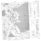
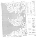
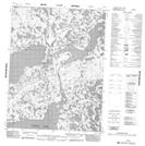
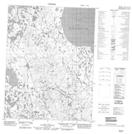
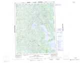
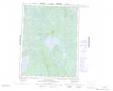
Maps showing Colville Ridge, Mackenzie, Northwest Territories
Colville Ridge is a Mountain located in Mackenzie, Northwest Territories and has an elevation of 271 meters.
- Latitude: 67° 18' 0'' North (decimal: 67.3001375)
- Longitude: 126° 0' 7'' West (decimal: -126.0020829)
- Topography Feature Category: Mountain
- Geographical Feature: Ridge
- Canadian Province/Territory: Northwest Territories
- Elevation: 271 meters
- Location: Mackenzie
- Atlas of Canada Locator Map: Colville Ridge
- GPS Coordinate Locator Map: Colville Ridge Lat/Long
Colville Ridge NTS Map Sheets