Canada Topographic Maps

Copp River Topo Maps

Topography maps and Latitude/Longitude Location

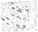
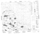
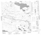
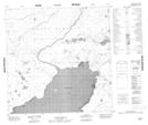
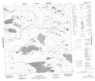
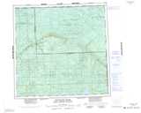
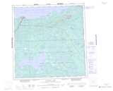
Maps showing Copp River, Mackenzie, Northwest Territories

Copp River is a River located in Mackenzie, Northwest Territories and has an elevation of 265 meters.

  • Latitude: 60° 18' 30'' North   (decimal: 60.3084584)
  • Longitude: 115° 5' 5'' West   (decimal: -115.0846677)
  • Topography Feature Category: River
  • Geographical Feature: River
  • Canadian Province/Territory: Northwest Territories
  • Elevation: 265 meters
  • Location: Mackenzie
  • Atlas of Canada Locator Map: Copp River
  • GPS Coordinate Locator Map: Copp River Lat/Long

Copp River NTS Map Sheets

084O16 Kilome Lake Topographic Map at 1:50,000 scale

085B01 Skillet Lake Topographic Map at 1:50,000 scale

085B02 No Title Topographic Map at 1:50,000 scale

085B06 No Title Topographic Map at 1:50,000 scale

085B07 No Title Topographic Map at 1:50,000 scale

084O Whitesand River Topographic Map at 1:250,000 scale

085B Buffalo Lake Topographic Map at 1:250,000 scale

 
Buy Topographic Maps DVD
Newsletter Sign-up

Yes, I want to receive map store discounts.


Bookmark and Share