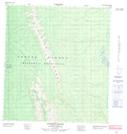
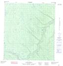
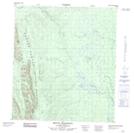
Maps showing Dahadinni Range, Mackenzie, Northwest Territories
Dahadinni Range is a Mountain located in Mackenzie, Northwest Territories and has an elevation of 486 meters.
- Latitude: 63° 22' 0'' North (decimal: 63.3667310)
- Longitude: 124° 53' 6'' West (decimal: -124.8850503)
- Topography Feature Category: Mountain
- Geographical Feature: Range
- Canadian Province/Territory: Northwest Territories
- Elevation: 486 meters
- Location: Mackenzie
- Atlas of Canada Locator Map: Dahadinni Range
- GPS Coordinate Locator Map: Dahadinni Range Lat/Long
Dahadinni Range NTS Map Sheets
095N02 Iverson Range Topographic Map at 1:50,000 scale
095N07 Slim Lake Topographic Map at 1:50,000 scale
095N09 No Title Topographic Map at 1:50,000 scale
095N10 Mount Dahadinni Topographic Map at 1:50,000 scale
095N11 No Title Topographic Map at 1:50,000 scale
095N14 No Title Topographic Map at 1:50,000 scale
095N Dahadinni River Topographic Map at 1:250,000 scale