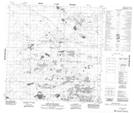
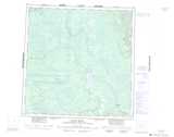
Maps showing David Pond, Mackenzie, Northwest Territories
David Pond is a Lake located in Mackenzie, Northwest Territories and has an elevation of 256 meters.
- Latitude: 60° 10' 15'' North (decimal: 60.1709643)
- Longitude: 113° 35' 54'' West (decimal: -113.5984061)
- Topography Feature Category: Lake
- Geographical Feature: Pond
- Canadian Province/Territory: Northwest Territories
- Elevation: 256 meters
- Location: Mackenzie
- Atlas of Canada Locator Map: David Pond
- GPS Coordinate Locator Map: David Pond Lat/Long
David Pond NTS Map Sheets