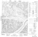
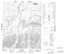
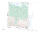
Maps showing Deadend Creek, Mackenzie, Northwest Territories
Deadend Creek is a River located in Mackenzie, Northwest Territories and has an elevation of 786 meters.
- Latitude: 65° 16' 00'' North (decimal: 65.2666372)
- Longitude: 130° 21' 27'' West (decimal: -130.3575467)
- Topography Feature Category: River
- Geographical Feature: Creek
- Canadian Province/Territory: Northwest Territories
- Elevation: 786 meters
- Location: Mackenzie
- Atlas of Canada Locator Map: Deadend Creek
- GPS Coordinate Locator Map: Deadend Creek Lat/Long
Deadend Creek NTS Map Sheets