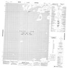
Maps showing Dease Arm, Mackenzie, Northwest Territories
Dease Arm is a Bay located in Mackenzie, Northwest Territories.
- Latitude: 66° 52' 1'' North (decimal: 66.8669361)
- Longitude: 119° 37' 6'' West (decimal: -119.6184285)
- Topography Feature Category: Bay
- Geographical Feature: Arm
- Canadian Province/Territory: Northwest Territories
- Location: Mackenzie
- Atlas of Canada Locator Map: Dease Arm
- GPS Coordinate Locator Map: Dease Arm Lat/Long
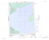
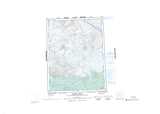
Dease Arm NTS Map Sheets
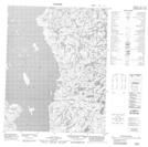
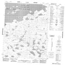
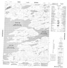
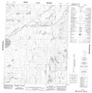
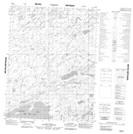
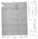
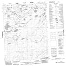
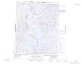
086I07 No Title Topographic Map at 1:50,000 scale
086L12 No Title Topographic Map at 1:50,000 scale
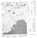
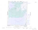
086L13 Prospect Island Topographic Map at 1:50,000 scale
086L14 Ritch Island Topographic Map at 1:50,000 scale
086L15 No Title Topographic Map at 1:50,000 scale
086M04 No Title Topographic Map at 1:50,000 scale
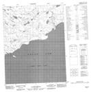
096I08 No Title Topographic Map at 1:50,000 scale
096I09 No Title Topographic Map at 1:50,000 scale
096I11 No Title Topographic Map at 1:50,000 scale
096I14 No Title Topographic Map at 1:50,000 scale
096I15 No Title Topographic Map at 1:50,000 scale
096I16 No Title Topographic Map at 1:50,000 scale
096P01 No Title Topographic Map at 1:50,000 scale
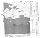
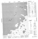
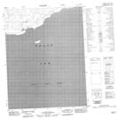
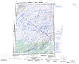
086I Napaktulik Lake Topographic Map at 1:250,000 scale
086L Takaatcho River Topographic Map at 1:250,000 scale
086M Bebensee Lake Topographic Map at 1:250,000 scale
096I Cape Macdonnel Topographic Map at 1:250,000 scale
096P Bloody River Topographic Map at 1:250,000 scale