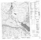
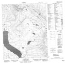
Maps showing Dillon Creek, Mackenzie, Northwest Territories
Dillon Creek is a River located in Mackenzie, Northwest Territories and has an elevation of 91 meters.
- Latitude: 65° 45' 5'' North (decimal: 65.7514806)
- Longitude: 126° 48' 52'' West (decimal: -126.8144108)
- Topography Feature Category: River
- Geographical Feature: Creek
- Canadian Province/Territory: Northwest Territories
- Elevation: 91 meters
- Location: Mackenzie
- Atlas of Canada Locator Map: Dillon Creek
- GPS Coordinate Locator Map: Dillon Creek Lat/Long
Dillon Creek NTS Map Sheets