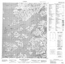
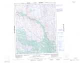
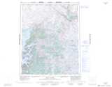
Maps showing Doghead Point, Mackenzie, Northwest Territories
Doghead Point is a Cape located in Mackenzie, Northwest Territories.
- Latitude: 66° 24' 1'' North (decimal: 66.4002802)
- Longitude: 117° 55' 6'' West (decimal: -117.9183191)
- Topography Feature Category: Cape
- Geographical Feature: Point
- Canadian Province/Territory: Northwest Territories
- Location: Mackenzie
- Atlas of Canada Locator Map: Doghead Point
- GPS Coordinate Locator Map: Doghead Point Lat/Long
Doghead Point NTS Map Sheets