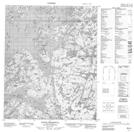
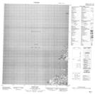
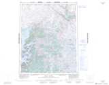
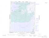
Maps showing Dowdell Point, Mackenzie, Northwest Territories
Dowdell Point is a Cape located in Mackenzie, Northwest Territories.
- Latitude: 66° 1' 1'' North (decimal: 66.0169373)
- Longitude: 118° 9' 6'' West (decimal: -118.1516377)
- Topography Feature Category: Cape
- Geographical Feature: Point
- Canadian Province/Territory: Northwest Territories
- Location: Mackenzie
- Atlas of Canada Locator Map: Dowdell Point
- GPS Coordinate Locator Map: Dowdell Point Lat/Long
Dowdell Point NTS Map Sheets