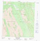
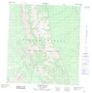
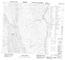
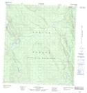
Maps showing Dusky Range, Mackenzie, Northwest Territories
Dusky Range is a Mountain located in Mackenzie, Northwest Territories and has an elevation of 977 meters.
- Latitude: 63° 13' 0'' North (decimal: 63.2166940)
- Longitude: 125° 18' 6'' West (decimal: -125.3017203)
- Topography Feature Category: Mountain
- Geographical Feature: Range
- Canadian Province/Territory: Northwest Territories
- Elevation: 977 meters
- Location: Mackenzie
- Atlas of Canada Locator Map: Dusky Range
- GPS Coordinate Locator Map: Dusky Range Lat/Long
Dusky Range NTS Map Sheets