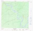
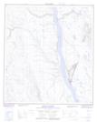
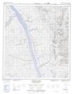
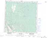
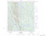
Maps showing Eetseemoday River, Mackenzie, Northwest Territories
Eetseemoday River is a River located in Mackenzie, Northwest Territories.
- Latitude: 63° 28' 55'' North (decimal: 63.4820384)
- Longitude: 123° 43' 16'' West (decimal: -123.7211249)
- Topography Feature Category: River
- Geographical Feature: River
- Canadian Province/Territory: Northwest Territories
- Location: Mackenzie
- Atlas of Canada Locator Map: Eetseemoday River
- GPS Coordinate Locator Map: Eetseemoday River Lat/Long
Eetseemoday River NTS Map Sheets