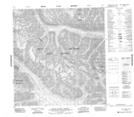
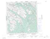
Maps showing Gargoyle Ridge, Mackenzie, Northwest Territories
Gargoyle Ridge is a Mountain located in Mackenzie, Northwest Territories.
- Latitude: 61° 51' 00'' North (decimal: 61.8498737)
- Longitude: 127° 41' 6'' West (decimal: -127.6850788)
- Topography Feature Category: Mountain
- Geographical Feature: Ridge
- Canadian Province/Territory: Northwest Territories
- Location: Mackenzie
- Atlas of Canada Locator Map: Gargoyle Ridge
- GPS Coordinate Locator Map: Gargoyle Ridge Lat/Long
Gargoyle Ridge NTS Map Sheets