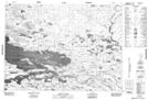
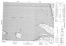
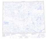
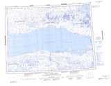
Maps showing George Island, Franklin, Northwest Territories
George Island is a Island located in Franklin, Northwest Territories.
- Latitude: 70° 18' 47'' North (decimal: 70.3129688)
- Longitude: 112° 1' 7'' West (decimal: -112.0185358)
- Topography Feature Category: Island
- Geographical Feature: Island
- Canadian Province/Territory: Northwest Territories
- Location: Franklin
- Atlas of Canada Locator Map: George Island
- GPS Coordinate Locator Map: George Island Lat/Long
George Island NTS Map Sheets