Maps showing Ghost River, Mackenzie, Northwest Territories
Ghost River is a River located in Mackenzie, Northwest Territories and has an elevation of 274 meters.
- Latitude: 63° 59' 1'' North (decimal: 63.9835703)
- Longitude: 115° 27' 5'' West (decimal: -115.4513839)
- Topography Feature Category: River
- Geographical Feature: River
- Canadian Province/Territory: Northwest Territories
- Elevation: 274 meters
- Location: Mackenzie
- Atlas of Canada Locator Map: Ghost River
- GPS Coordinate Locator Map: Ghost River Lat/Long
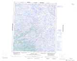
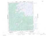
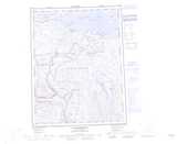
Ghost River NTS Map Sheets
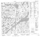
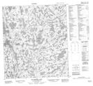
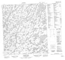
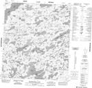
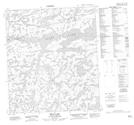
085O14 Ghost Lake Topographic Map at 1:50,000 scale
085O15 Dauphinee Lake Topographic Map at 1:50,000 scale
085O16 Hickey Lake Topographic Map at 1:50,000 scale
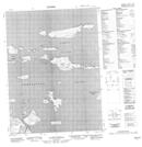
086A04 Boudellkell Lake Topographic Map at 1:50,000 scale
086B01 Bean Lake Topographic Map at 1:50,000 scale
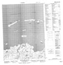
086O15 Seven Mile Island Topographic Map at 1:50,000 scale
086O16 No Title Topographic Map at 1:50,000 scale
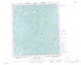
085O Wecho River Topographic Map at 1:250,000 scale
086A Winter Lake Topographic Map at 1:250,000 scale
086B Indin Lake Topographic Map at 1:250,000 scale
086O Coppermine Topographic Map at 1:250,000 scale