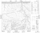
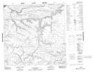
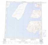
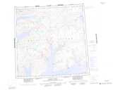
Maps showing Giddy River, Franklin, Northwest Territories
Giddy River is a River located in Franklin, Northwest Territories.
- Latitude: 75° 29' 2'' North (decimal: 75.4839846)
- Longitude: 116° 17' 10'' West (decimal: -116.2861591)
- Topography Feature Category: River
- Geographical Feature: River
- Canadian Province/Territory: Northwest Territories
- Location: Franklin
- Atlas of Canada Locator Map: Giddy River
- GPS Coordinate Locator Map: Giddy River Lat/Long
Giddy River NTS Map Sheets