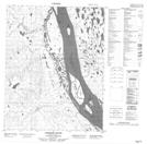
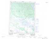
Maps showing The Grand View, Mackenzie, Northwest Territories
The Grand View is a Cape located in Mackenzie, Northwest Territories and has an elevation of 37 meters.
- Latitude: 66° 48' 0'' North (decimal: 66.8000156)
- Longitude: 130° 10' 8'' West (decimal: -130.1688297)
- Topography Feature Category: Cape
- Geographical Feature: Heights
- Canadian Province/Territory: Northwest Territories
- Elevation: 37 meters
- Location: Mackenzie
- Atlas of Canada Locator Map: The Grand View
- GPS Coordinate Locator Map: The Grand View Lat/Long
The Grand View NTS Map Sheets