Canada Topographic Maps

Lac de Gras Topo Maps

Topography maps and Latitude/Longitude Location

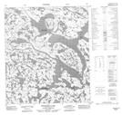
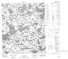
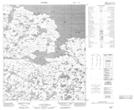
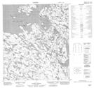
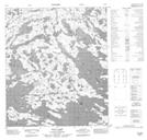
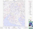
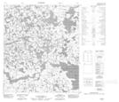
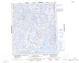
Maps showing Lac de Gras, Mackenzie, Northwest Territories

Lac de Gras is a Lake located in Mackenzie, Northwest Territories and has an elevation of 405 meters.

  • Latitude: 64° 30' 1'' North   (decimal: 64.5002862)
  • Longitude: 110° 30' 4'' West   (decimal: -110.5011222)
  • Topography Feature Category: Lake
  • Geographical Feature: Lake
  • Canadian Province/Territory: Northwest Territories
  • Elevation: 405 meters
  • Location: Mackenzie
  • Atlas of Canada Locator Map: Lac de Gras
  • GPS Coordinate Locator Map: Lac de Gras Lat/Long

Lac de Gras NTS Map Sheets

076C05 Thonokied Lake Topographic Map at 1:50,000 scale

076C12 No Title Topographic Map at 1:50,000 scale

076D07 No Title Topographic Map at 1:50,000 scale

076D08 No Title Topographic Map at 1:50,000 scale

076D09 Paul Lake Topographic Map at 1:50,000 scale

076D10 No Title Topographic Map at 1:50,000 scale

076D11 No Title Topographic Map at 1:50,000 scale

076C Aylmer Lake Topographic Map at 1:250,000 scale

076D Lac De Gras Topographic Map at 1:250,000 scale

 
Buy Topographic Maps DVD
Newsletter Sign-up

Yes, I want to receive map store discounts.


Bookmark and Share