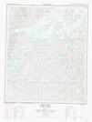
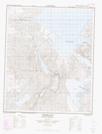
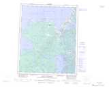
Maps showing Gunbarrel Inlet, Mackenzie, Northwest Territories
Gunbarrel Inlet is a Bay located in Mackenzie, Northwest Territories.
- Latitude: 65° 38' 1'' North (decimal: 65.6335993)
- Longitude: 118° 33' 6'' West (decimal: -118.5516469)
- Topography Feature Category: Bay
- Geographical Feature: Inlet
- Canadian Province/Territory: Northwest Territories
- Location: Mackenzie
- Atlas of Canada Locator Map: Gunbarrel Inlet
- GPS Coordinate Locator Map: Gunbarrel Inlet Lat/Long
Gunbarrel Inlet NTS Map Sheets