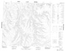
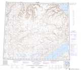
Maps showing Gyrfalcon Bluff, Franklin, Northwest Territories
Gyrfalcon Bluff is a Mountain located in Franklin, Northwest Territories and has an elevation of 128 meters.
- Latitude: 74° 0' 2'' North (decimal: 74.0005667)
- Longitude: 118° 56' 10'' West (decimal: -118.9362164)
- Topography Feature Category: Mountain
- Geographical Feature: Bluff
- Canadian Province/Territory: Northwest Territories
- Elevation: 128 meters
- Location: Franklin
- Atlas of Canada Locator Map: Gyrfalcon Bluff
- GPS Coordinate Locator Map: Gyrfalcon Bluff Lat/Long
Gyrfalcon Bluff NTS Map Sheets