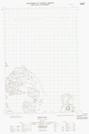
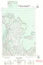
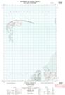
Maps showing Hadwen Island, Mackenzie, Northwest Territories
Hadwen Island is a Island located in Mackenzie, Northwest Territories.
- Latitude: 69° 35' 40'' North (decimal: 69.5943998)
- Longitude: 134° 5' 10'' West (decimal: -134.0861271)
- Topography Feature Category: Island
- Geographical Feature: Island
- Canadian Province/Territory: Northwest Territories
- Location: Mackenzie
- Atlas of Canada Locator Map: Hadwen Island
- GPS Coordinate Locator Map: Hadwen Island Lat/Long
Hadwen Island NTS Map Sheets